.jpg)
Sleek and simple, touchscreen Dakota makes being tough look easy
More than ever, touchscreen navigation in the great outdoors is within your reach. Today, we announced Garmin's new Dakota 10 and Dakota 20 outdoor handhelds. Physically smaller than the iconic Garmin eTrex, Dakota boasts a much bigger color display thanks to the 2.6-inch glove-friendly touchscreen.
Lightweight, rugged and waterproof, Garmin’s new Dakota devices quickly acquire and maintain satellite reception – even in heavy tree cover or deep canyons – thanks to a high-sensitivity GPS receiver with HotFixTM, which automatically calculates and stores critical satellite information and can use that information to quickly calculate a position. Everyone from geocachers and youth scouts to surveyors and hunters can take advantage of Dakota’s 850 MB of internal memory, which can store up to 1,000 waypoints, 50 routes, 2,000 geocaches and an active tracklog of up to 10,000 points and 200 saved tracks.
Dakota 20 adds even more features, including a 3-axis compass, barometric altimeter, a microSD card slot for increased mapping and memory storage, and wireless unit-to-unit connectivity for sharing your waypoints, tracks, routes and geocaches wirelessly with compatible Dakota, Oregon, Colorado and Foretrex devices. Dakota 20’s 3-axis, tilt-compensated electronic compass shows your heading even when you’re standing still, without needing to hold it level.
Based on the innovative interface of Garmin’s award-winning Oregon series, Dakota’s glove-friendly, color 2.6-inch touchscreen display is easy to read and use in all conditions, responsive to the touch of your finger, yet resistant to the forces of nature. Weighing only 6.75 ounces, Dakota lasts up to 20 hours on two AA batteries and can connect to your PC or Mac via USB connection.
It’s fun and easy to get into paperless geocaching with Dakota. You can download up to 2,000 caches, with information such as location, terrain, difficulty, hints and description — no more paper print outs and manually entered coordinates. Visit Garmin.com/geocache for more information.
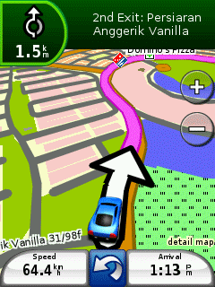
Dakota comes preloaded with a worldwide basemap and is compatible with Garmin City Navigator NT for turn-by-turn directions on city streets, Blue Chart g2 for marine charting, and TOPO U.S. 24K and 100K map software for incredible terrain detail (each sold separately).